Natchez Trace Parkway
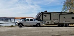
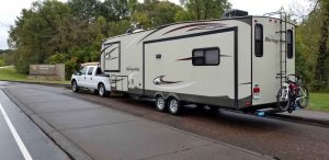
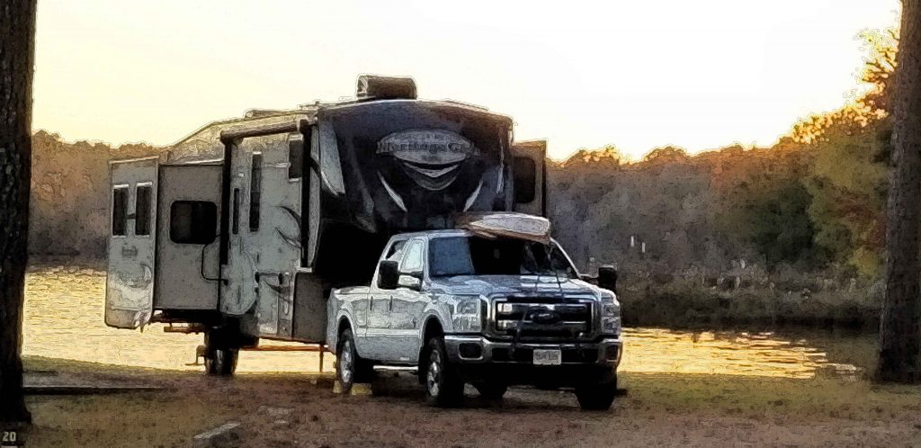
Four days and 444 miles through three states along the entire Natchez Trace Parkway proved a worthwhile experience. The amount of unique and varied history along the route makes for a fascinating trip against the backdrop of a simply scenic drive.
National Park
The Natchez Trace Parkway is a National Park comprised of a narrow swatch of land following along
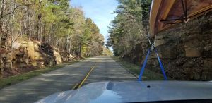
a trail that evolved centuries ago from Natchez, Mississippi to Nashville, TN. The two lane road winds past meadows and farms, through shaded tunnels created by the overhanging tree canopy, and along lakes and rivers.
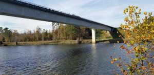
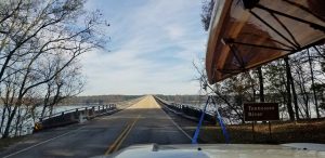
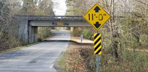
It is a limited access road with defined entrance ramps periodically, so there
are lots of bridges crossing over and under all the bisecting roadways. The varied architecture of old and new bridges presented a pleasant and interesting contrast. Obviously those who previously passed through route on foot, horseback and wagons did not have the benefit of all the bridges to ease their trek.
“My favorite thing to do is to go where I’ve never been.” — Diane Arbus, American photographer
Feel free to connect with me:
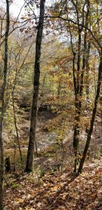
Every few miles there are historic markers and pull-offs to either see a piece of the past, or read the educational exhibits. Occasionally there was a pop of bright red, but primarily yellows and greens lined the roadway as the fall colors were about as good as it gets in Mississippi.
There is an eclectic collection of history along the Natchez Trace Parkway that far exceeds the 1785-1830 heyday of the Old Trace. A historic phosphate mine, burial mounds built 1,000 years ago, the first school for women in Mississippi and the location of a historic iron mine are scattered across Mississippi, Alabama and Tennessee. Two of many inns from days past that provided food and lodging to those traveling the Trace can be seen barely surviving the years.
The natural history can also be explored via a boardwalk through a Cyprus swamp and numerous hiking trails. Sections of the original Natchez Trace that have been preserved can be explored.
No commercial vehicles are permitted on the Parkway. No billboards to interrupt the scenic views and no businesses directly along the route, therefore some planning is needed to ensure fuel stops are synced with availability in the occasional passing towns.
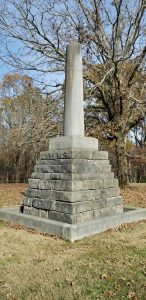
Meriwether Lewis
My favorite – The Meriwether Lewis Monument. Explorer Meriwether Lewis died at the Grinder House on the Natchez Trace in 1809 and the monument in his honor contains the remains of the U.S.; Army Captain, Private Secretary to President Jefferson, Senior Commander of the Lewis and Clark Expedition and Governor of the Territory of Louisiana.
My favorite book is The Journals of Lewis and Clark (Lewis & Clark Expedition), which was simply a transcript of their expedition journals. It is a challenging 570 page read, but brings you right along the trials
and triumphs of the famous journey. I had no idea there was a Meriwether Lewis connection on the Natchez Trace Parkway, so this was fun discovery for me.
I was on the road early in the morning to finish the last fifty miles and allow plenty of time to get through Nashville. A bald eagle greeted me and flew back and forth across the center yellow line about twenty feet above the road. It was an incredible sight and an enjoyable half mile or so before he jetted off into the treeline. What an escort! Only the second bald eagle I have seen, the first was fishing with a friend of mine in Kentucky.
Those final fifty miles also included numerous deer, a flock of turkeys, and as I slowed to sneak a peak of the view as I crossed the Duck River, there sat a red-tailed hawk right at eye level as I approached the other side. No photos of any of this, as I chose to keep my RV on the road and avoid grabbing my phone. I need a dash mounted Go Pro!
Pro Tip: The National Park Services publishes a free comprehensive brochure that lists highlights of the history along with the corresponding mile marker, so you can evaluate all the potential stops and be selective to fit your schedule. There is also a helpful guide that can be purchased to all the potential things to take in along the Natchez Trace: Guide to the Natchez Trace Parkway.