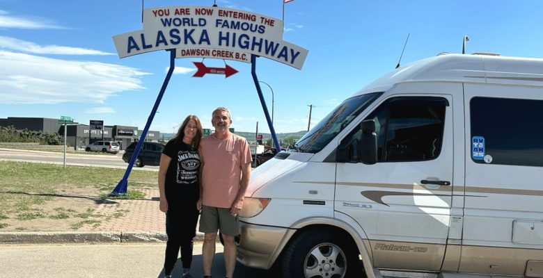
I’ve seen countless photos and videos of the iconic arched sign marking the start of The Alaska Highway in Dawson Creek, British Columbia. Three weeks and three thousand miles into our road trip to Alaska, we parked right there under the sign and snapped that familiar photo – but it was us in the picture and we were about to embark on The Alaska Highway.
Jim and Heidi, whom we had met back in Banff National Park, just happened to pull in right behind us to get their photo and start their journey on the Alaska Highway. It’s fun to see familiar faces and share a common goal – an epic road trip to Alaska!
“The bad news is time flies. The good news is you are the pilot.” – Michael Altshuler, motivational speaker
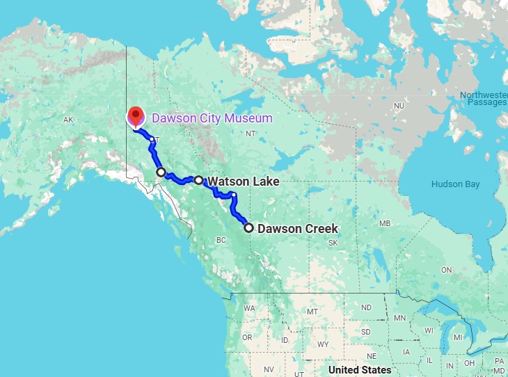
Alaska Road Trip Progress: Shepherdsville, KY, USA to Dawson City, Yukon, Canada 27 Days (5/9/25 to 6/4/25) 4,330 miles
This segment of our Alaska adventure is from Dawson Creek in British Columbia to Dawson City in Yukon along the Alaska Highway and Klondike Highway.
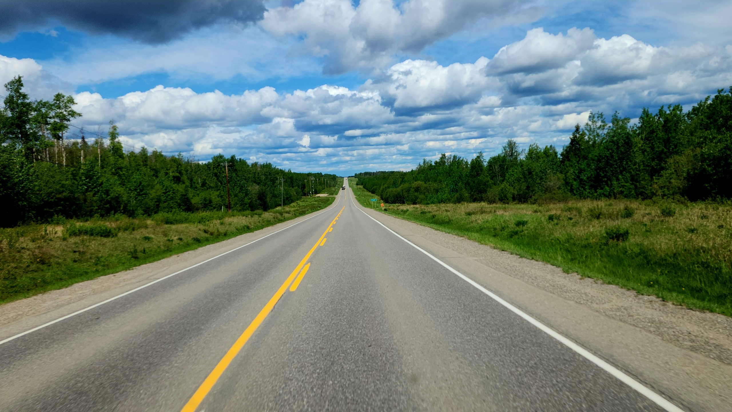
The Alaska Highway
The Alaska Highway was built from 1942 to 1948 to connect the U.S. mainland with Alaska. It is a two lane paved highway winding through valleys and over mountains. Except for a few exceptions, we found the road to be well maintained and easy to drive. Attention was needed to be alert occasionally for areas that had not yet been repaired from the harsh winter, but overall it was easily passable.
The Liard River Hot Springs Provincial Park provides a natural hot springs experience.
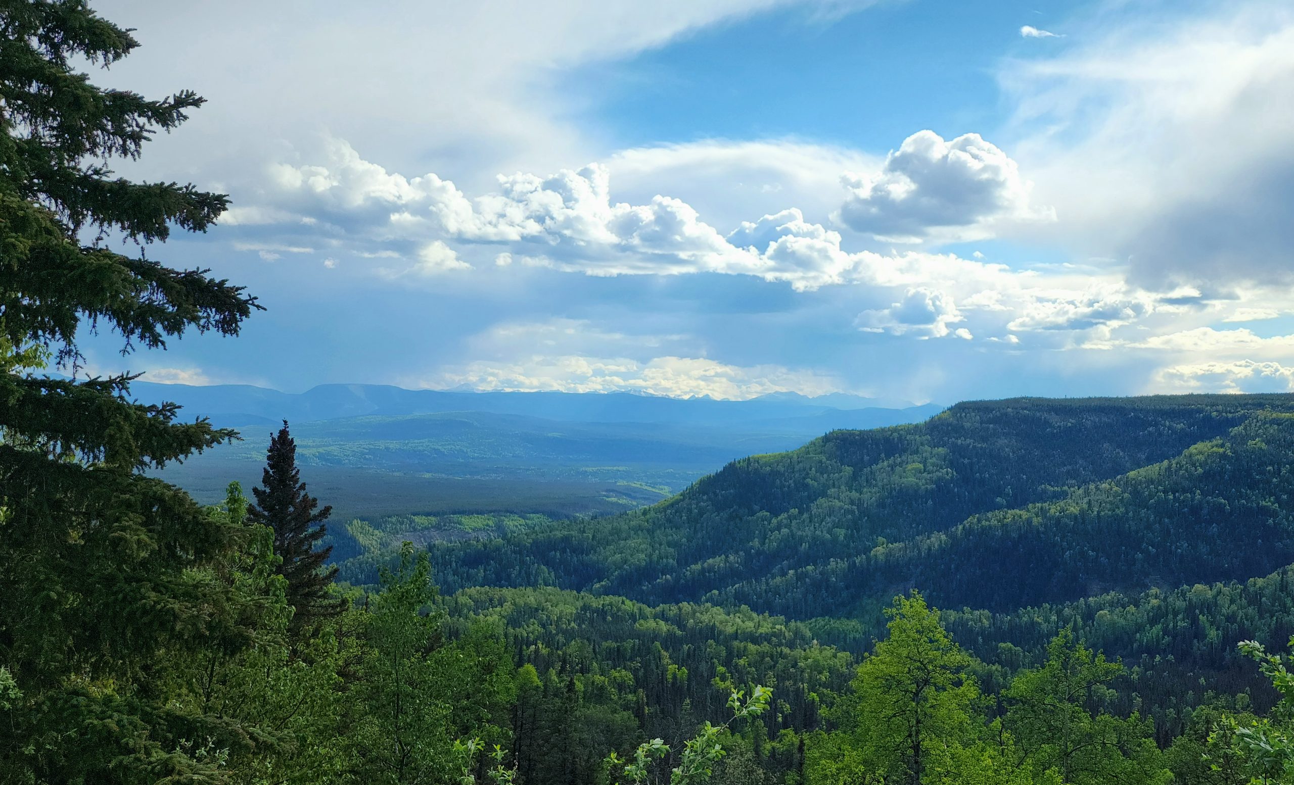
We crossed Summit Pass on June 1st, the highest point along the Alaska Highway with an elevation of 4,250 feet. The prominence of the mountains along this route is amazing, as the peaks extend far above the surrounding ground level. This creates up to a 10% grade for short distances, which we encountered several times on the Alaska Highway.
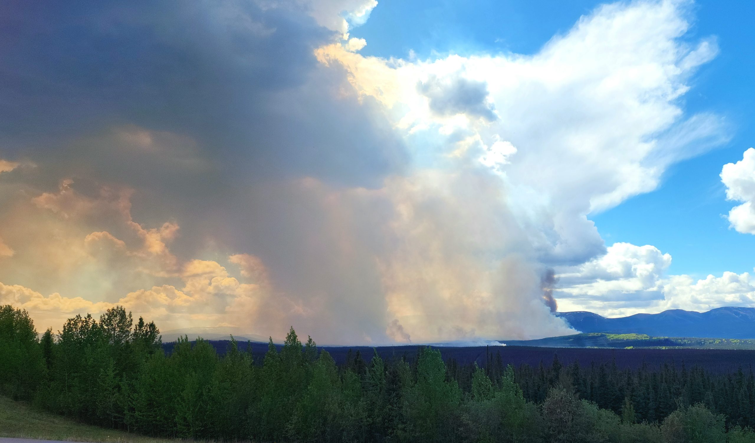
Donnie Creek Wild Fire had burned about 10,000 acres when we passed about two hundred miles north of Dawson Creek, and listed as out of control. Further north, shortly after we passed over Summit Pass, there was a wildfire in that area that has intermittently closed the Alaska Highway over the last several days.
A few things along the Alaska Highway have become so popular that they necessitate a stop. About six hundred miles from Mile 0 in Dawson Creek is one of them – the Sign Post Forest. Carl K. Lindley, a U.S. Army soldier, was in Alaska in 1942 working on the construction of the Alaska Highway.
He was tasked with repairing some directional sign posts, so he innocently added a sign that indicated the direction and mileage to his hometown of Danville, Illinois. A few others followed suit adding their own signs, and it gradually turned into a tradition that continues to this day. Now over 100,000 signs are in the Sign Post Forest and it has actually been designated as an official Historic Site.
The Sign Post Forest
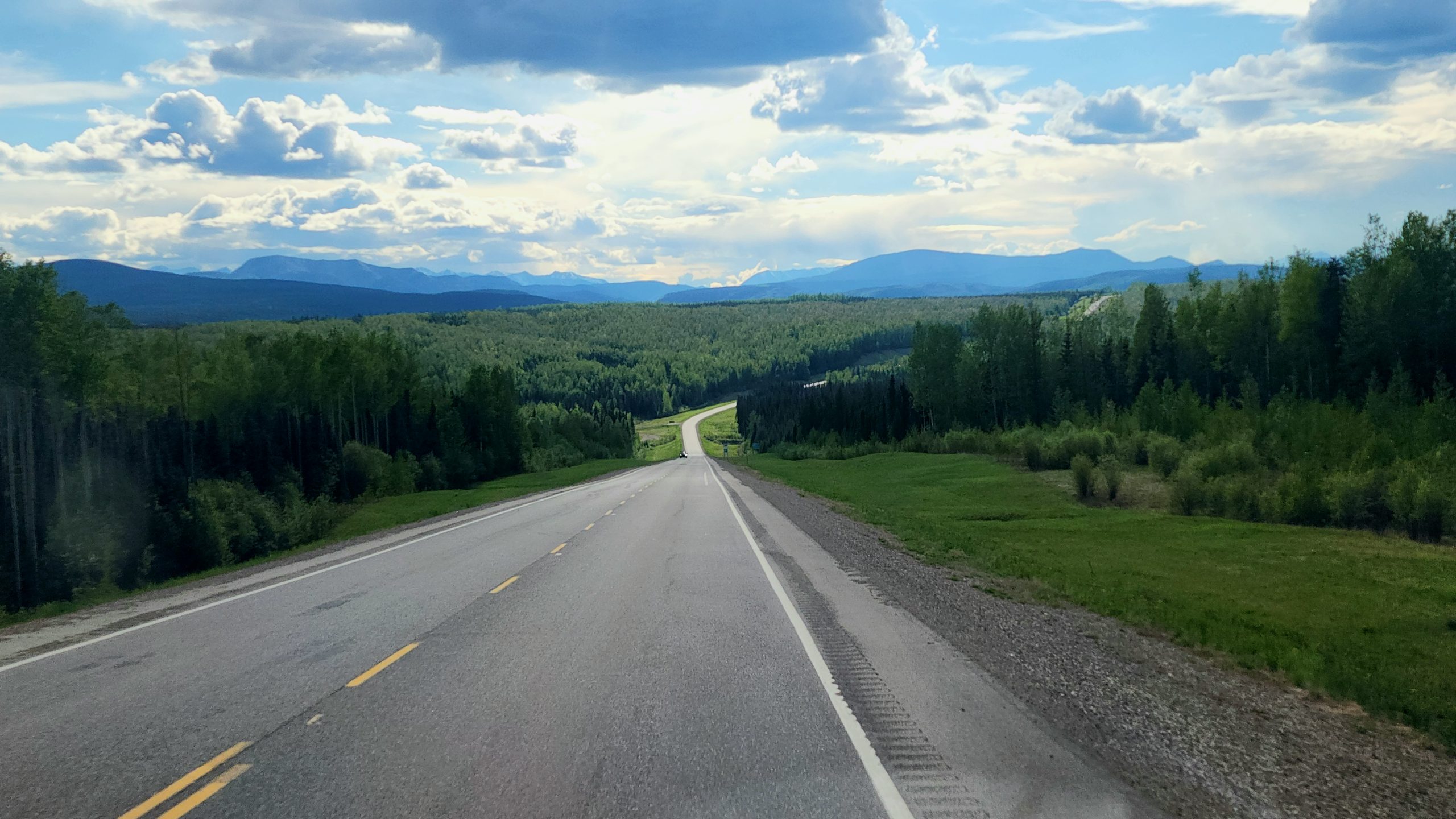
The Klondike Highway
In Whitehorse, which is the capital of Yukon, we veered off the Alaska Highway after 893 miles to follow the Klondike Highway further north into Dawson City. The Alaska Highway actually continues on another five hundred miles and terminates at Delta Junction, Alaska. Our road trip to Alaska would take a slightly more northern route.
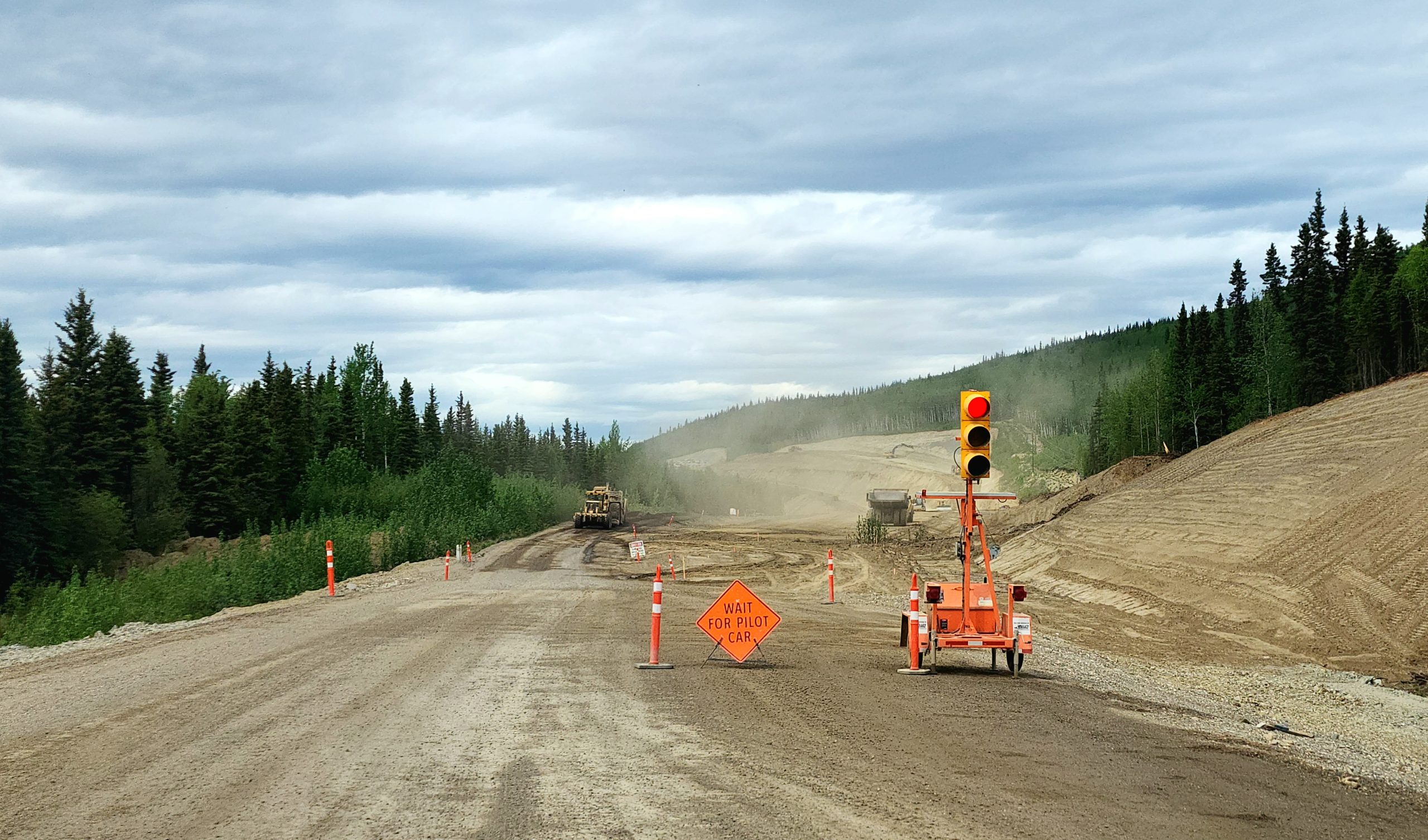
The 330 miles of the Klondike Highway was not nearly as smooth riding as the Alaska Highway. Frost heaves and pot holes created some bumpy road conditions. There was also an interesting ten mile stretch that was under construction with a pilot car escorting us through the dirt – not gravel – road while huge dump trucks raced around just a few feet from the van.
We found plenty of services along both the Alaska Highway and the Klondike Highway. It was not unusual to drive 150 to 200 miles with nothing but natural scenery before passing a gas station and perhaps a lodge with a restaurant. Larger communities were few and far between.
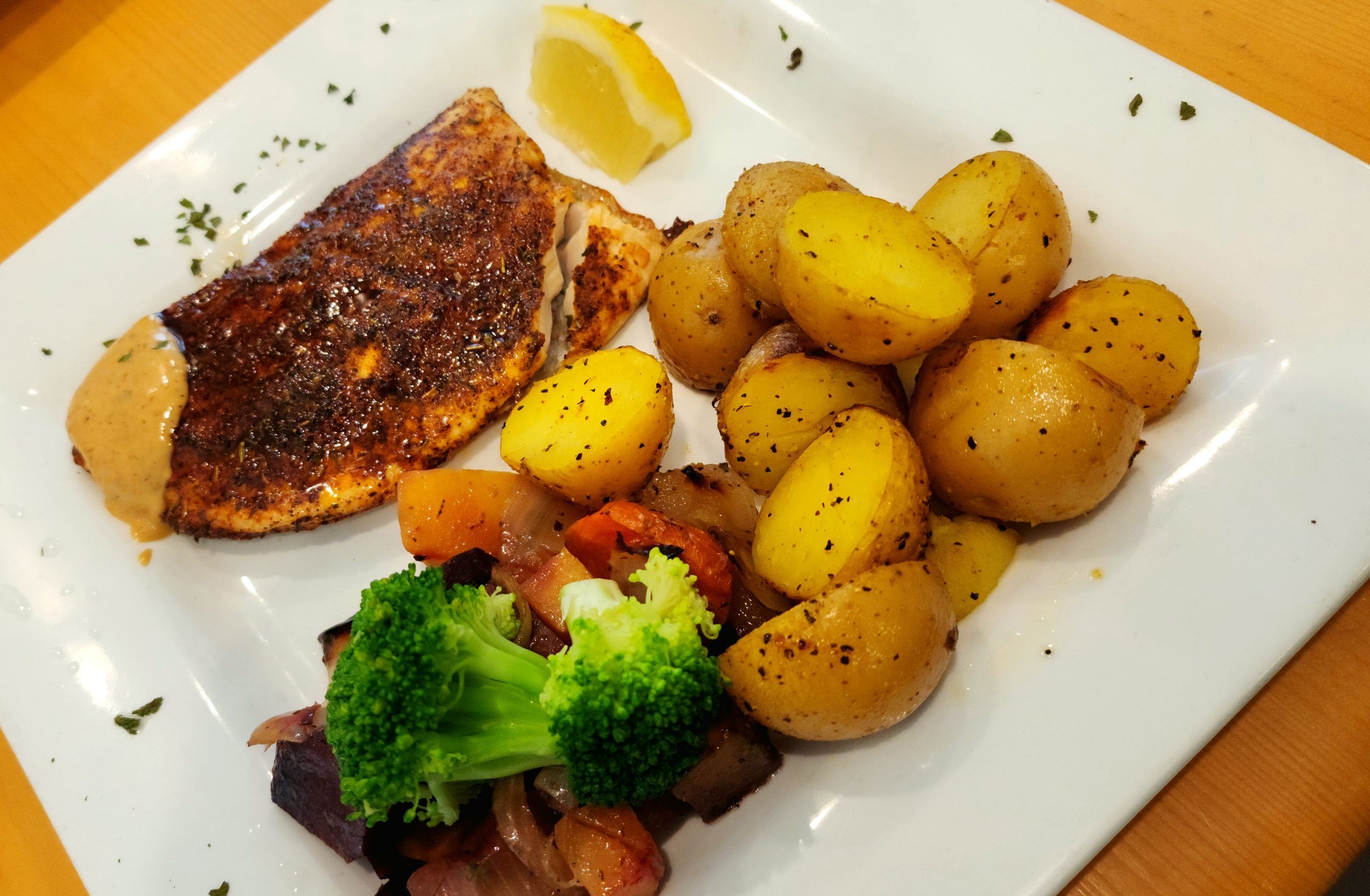
Tried some tasty Arctic Char in Dawson Creek, Yukon, the world’s most northerly freshwater fish found in alpine lakes but also thrives in the saltwater of the Arctic Ocean.
Although we briefly had a couple warms days back in Dawson Creek, it quickly turned cool again. Even locals are talking about how unseasonably cool it has been. Lows have been in to mid to upper thirty degrees Fahrenheit and daytime highs are in the mid to upper fifties.
We paused in Dawson City briefly, and before taking the ferry across the Yukon River…we made a game time decision to backtrack 25 miles on the Klondike Highway to explore a possible epic side adventure. Stay tuned for the next leg of our journey!
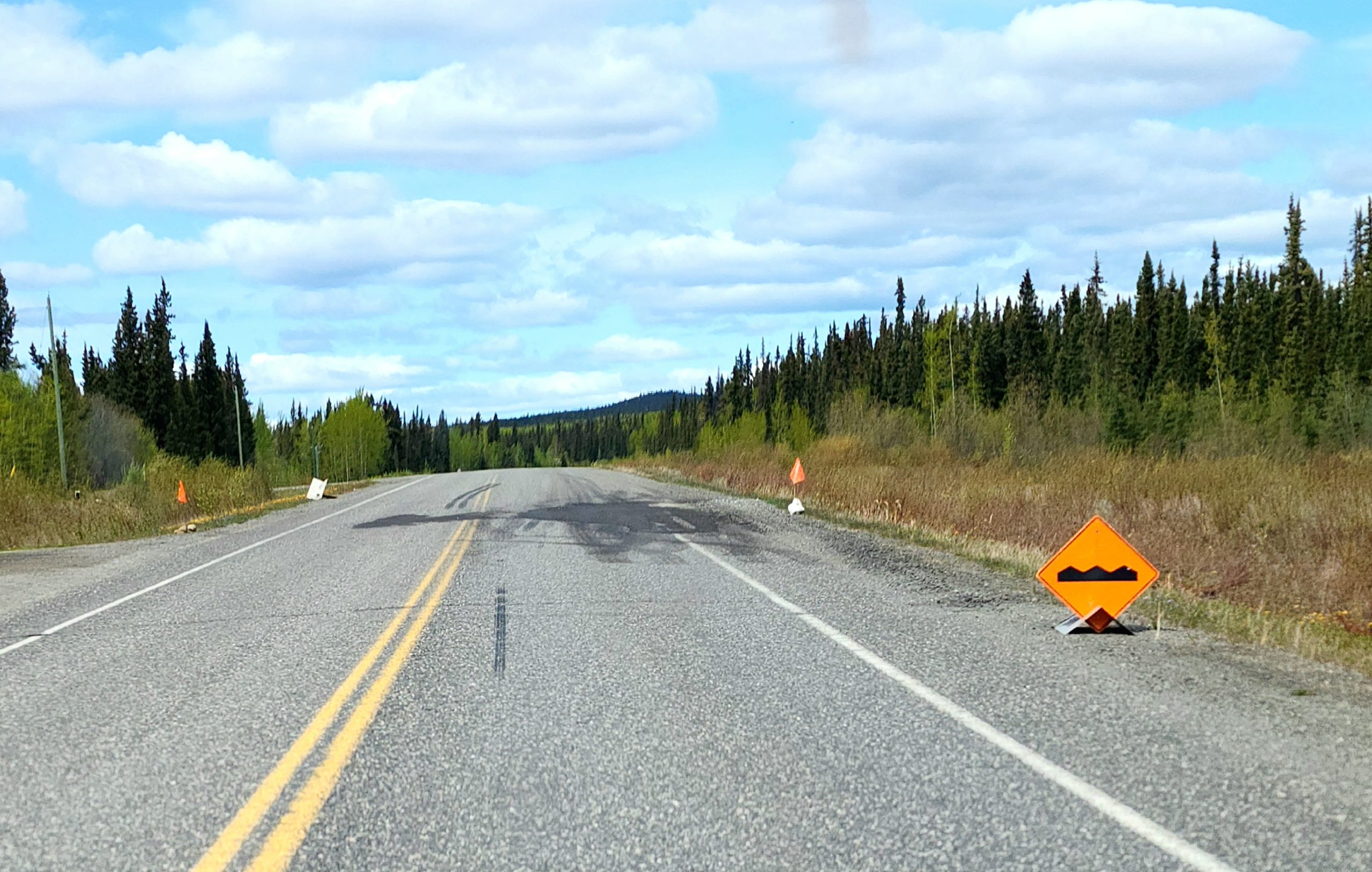
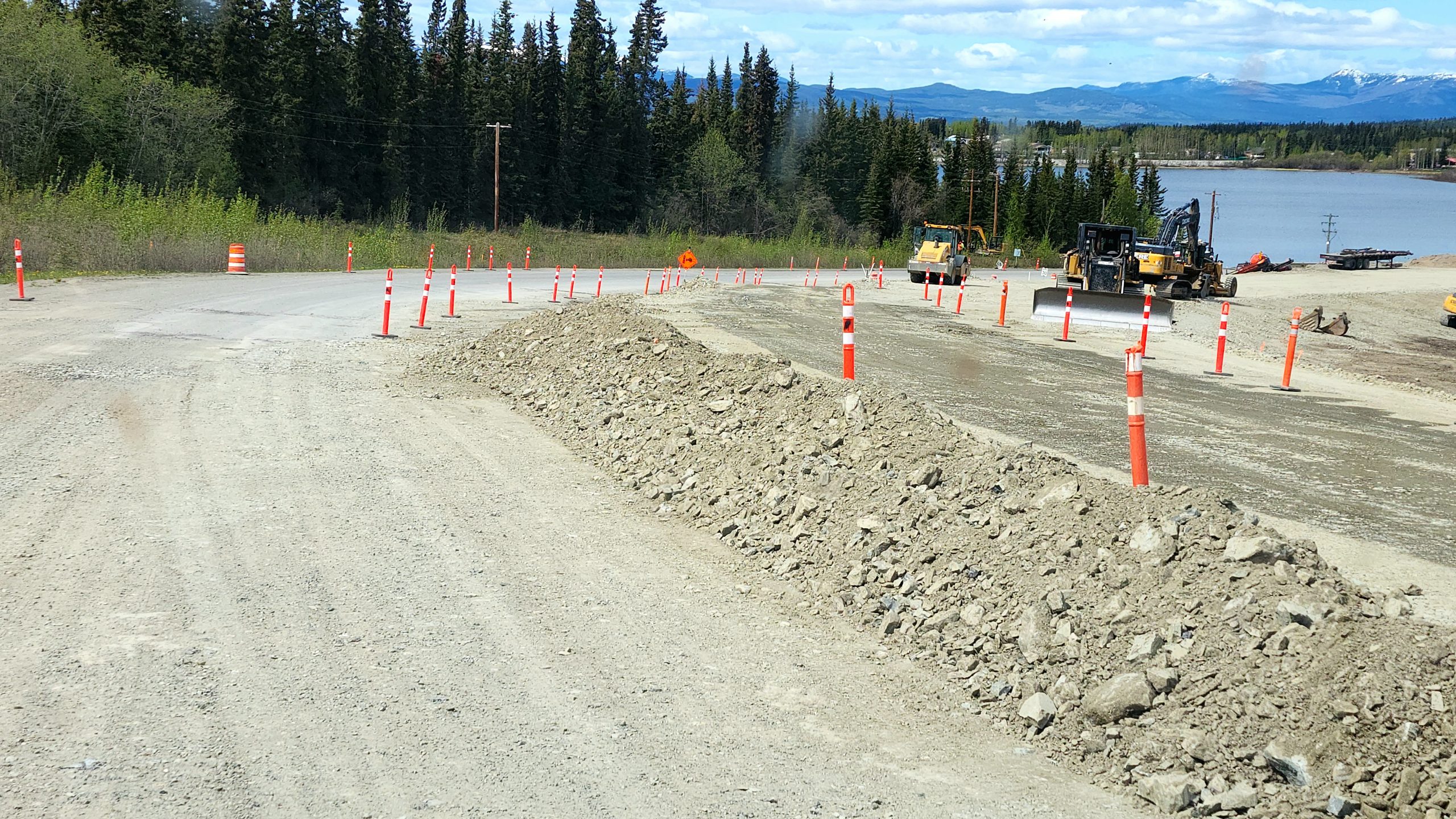
Road Hazards and Construction
Lunch break at Sikanni River Campground in Pink Mountain, British Columbia.Our boondock campsite at Summit Lake Campground in Stone Mountain Provincial Park on a cold night (overnight low of 33 degrees Fahrenheit) with rain and snow at higher elevations.
Wildlife We’ve Seen
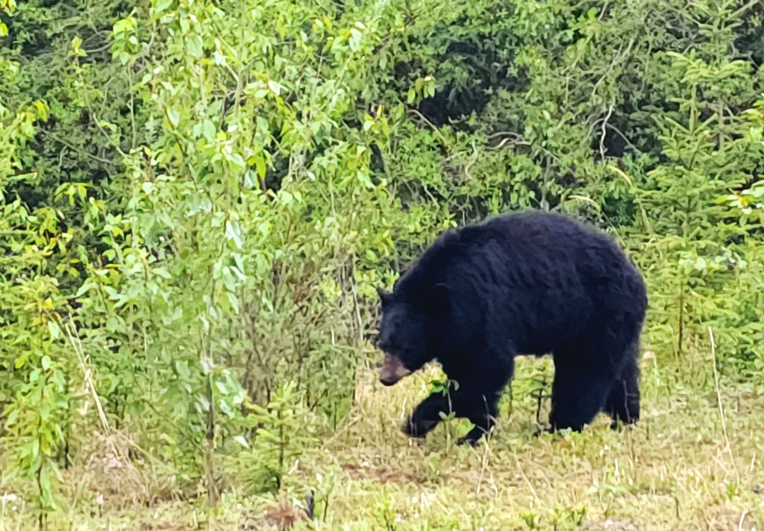
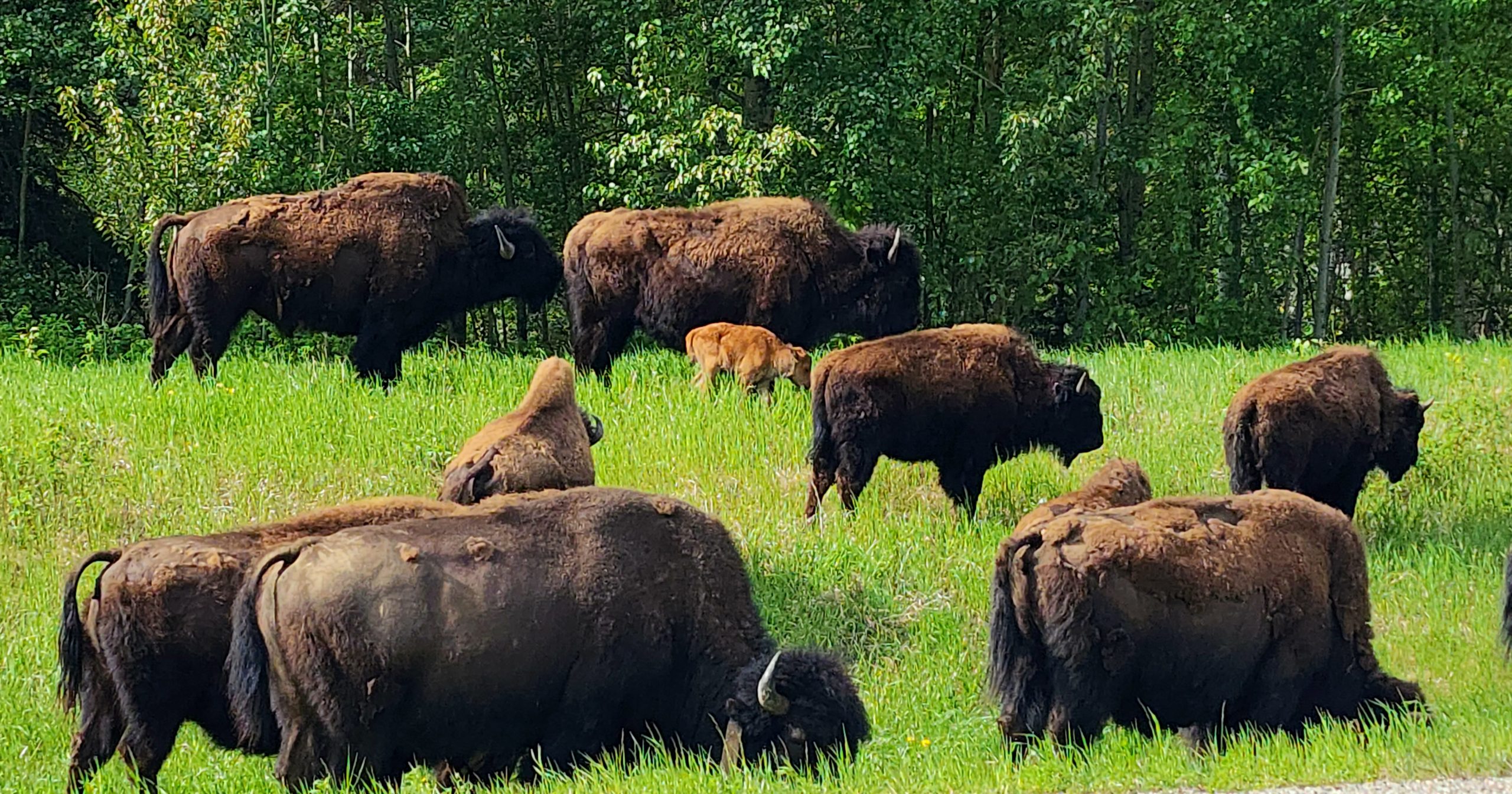
Wood Bison, Chilcotin Wild Horses, Black Bear, Moose, Porcupine, Pronghorn Antelope, Beaver, Deer, Elk, Big Horn Sheep, lots of birds (ducks/geese/hawks/swallows/magpies/and many more)